A new version (5.3.10) has been released and is available here.
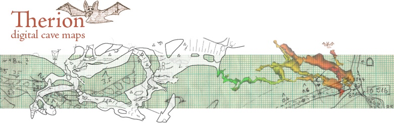
Therion solves the most annoying problem of cave cartography – how to
keep a map of large and complicated cave system always up-to-date.
Main features include:
Complete maps with all the detail. No additional ink stroke is needed.
- Maps are dynamic, always up-to-date – i.e. they are automatically re-drawn after loop closure, blunder fix, scale or symbol set change
- 3D models are created using 2D maps
The latest version includes following additions/bug fixes:
Therion:
* full OSGB grid coverage (e.g. cs OSGB:ST)
* added New Zealand symbol set (NZSS, thanks to Bruce Mutton)
* updated UIS symbol set (thanks to Bruce Mutton)
* updated English translation (thanks to Bruce Mutton)
* added te reo Maori translation (thanks to Kyle Davis)
Loch:
* added checkbox that enables/disables surface lighting (Scene->Surface)
Source: Therion
Info: KarstWorlds
No comments:
Post a Comment